
The Watchers reported on 15 November that satellite analysis detected 23,998 fire hotspots across the Amazon Basin in October 2026, an increase of 82.6% on October 2025. The outlet links the rise to a strengthening El Niño and below-average rainfall across much of the region.
According to a regional bulletin published on 13 November by the Amazon Cooperation Treaty Organization, 29 of the Amazon’s 32 sub-basins had below-average October rainfall across more than half their area. NOAA’s Climate Prediction Center, in an assessment issued on 12 November, said El Niño was still strengthening and put the chance of it reaching “historical strength” at about 60%. The latest three-month index reading was +2.0°C, below the +2.5°C threshold used for that label, and recent values are provisional.
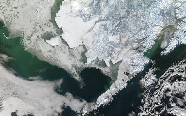
The report cites NASA Earth Observatory’s October assessment, in which scientists described fires lit to manage pasture and farmland escaping into drought-dried forest, with some forests damaged by earlier fires burning again. NASA imagery from 12 October showed smoke across the central Brazilian Amazon. The Watchers also notes that a “hotspot” is a heat detection rather than a count of separate fires or area burned, and that smoke and cloud can hide fires from satellites. Separately, it says Brazil’s PRODES monitoring estimated the lowest annual deforestation in the Legal Amazon since records began in 1988, though that figure does not cover October’s fires.
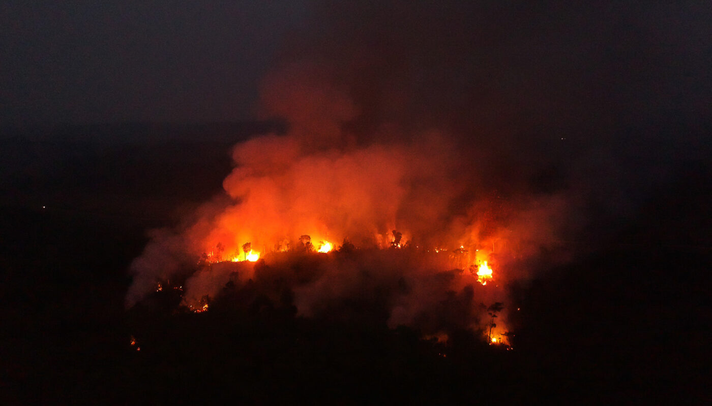
Reporting note: The hotspot total and the 82.6% rise come from a single outlet, The Watchers, which does not name the satellite dataset in the text we reviewed. Hotspot counts are not the same as area burned. We have not independently checked the figures. The photo is a 2020 file image of cleared and burned forest in Amazonas state, not from this month.
Photo: Amazônia Real from Manaus AM, Brasil / CC BY 2.0 / Wikimedia Commons