
The Watchers reported on 16 November that the winds of the polar vortex, high above the North Pole, slowed, stopped and reversed direction around 10 November. The outlet describes it as the earliest major event of its kind since reliable records began in 1958. The previous earliest began on 28 November 1968, about two and a half weeks later.
According to the report, the vortex was stretched off the pole and split into two smaller swirls. Forecasters had expected a disruption for weeks, but the timing surprised some experts, partly because strong El Niño years usually keep the vortex stronger. The north-eastern United States has already had an early taste of cold air this week, the outlet says.
Effects can take one to three weeks to reach ground-level weather, so attention is on late November. The Watchers says forecast models suggest the eastern US could see another temperature drop, and possibly snow, around Thanksgiving weekend, with colder Canadian air spreading south from late November into early December. It adds that models often struggle with these events, that some forecasts show the winds returning to normal strength by the third week of November, and that NOAA’s October winter outlook had pointed to a milder north because of El Niño. It advises checking updated forecasts the week before travel rather than changing plans now.
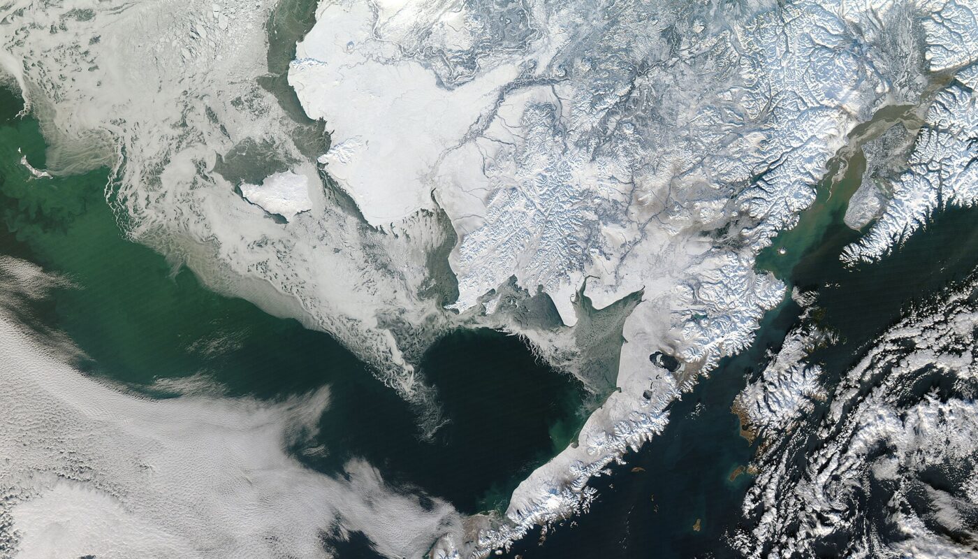
Reporting note: This account rests on one outlet’s summary of forecasters’ views; we have not seen the underlying forecast data. The record claim and the Thanksgiving outlook are both uncertain, and the outlet itself says the cold could ease. The photo is a 2011 satellite image of Alaska, used as a general winter illustration.
Photo: Jeff Schmaltz / Public domain / Wikimedia Commons